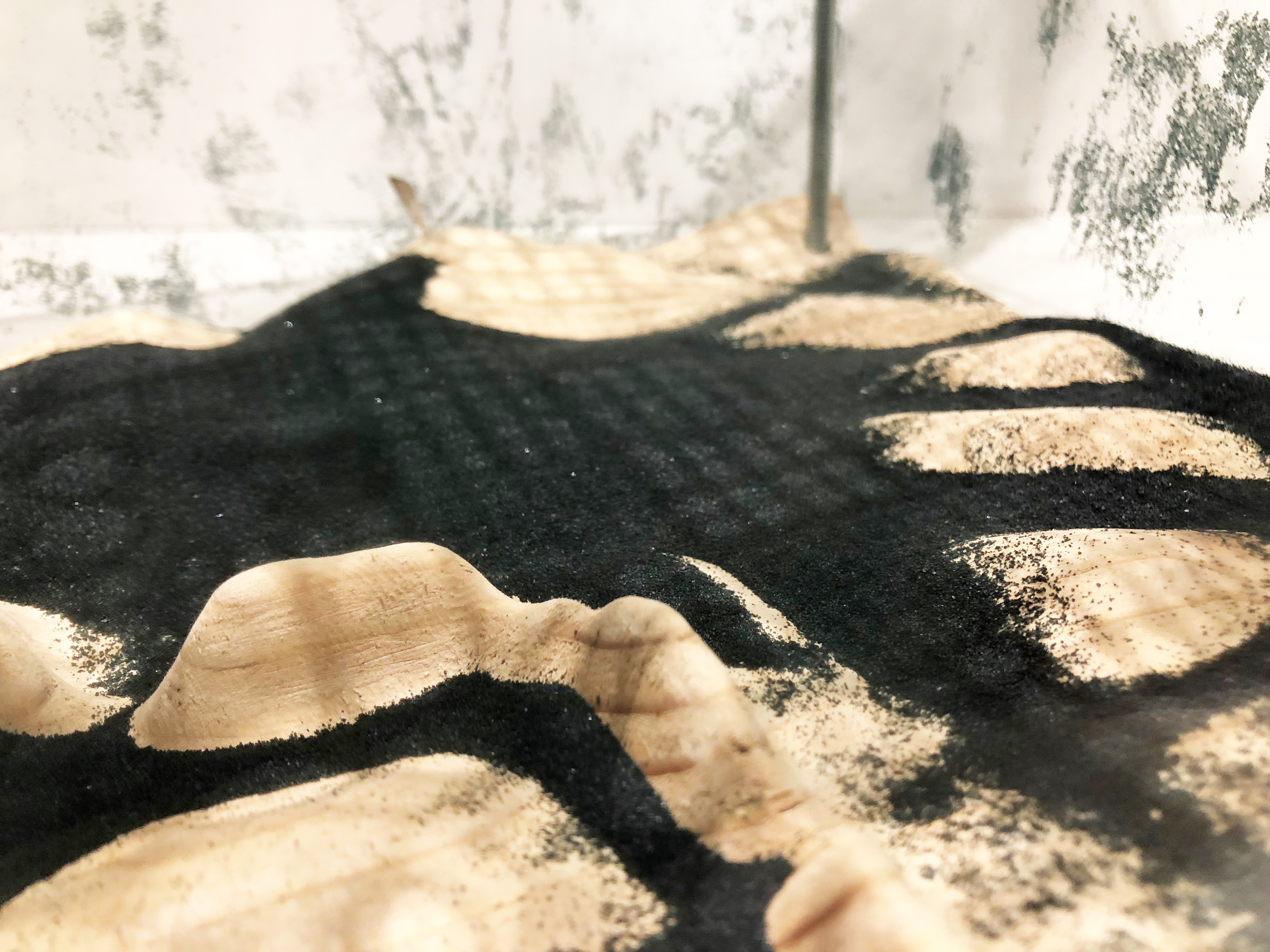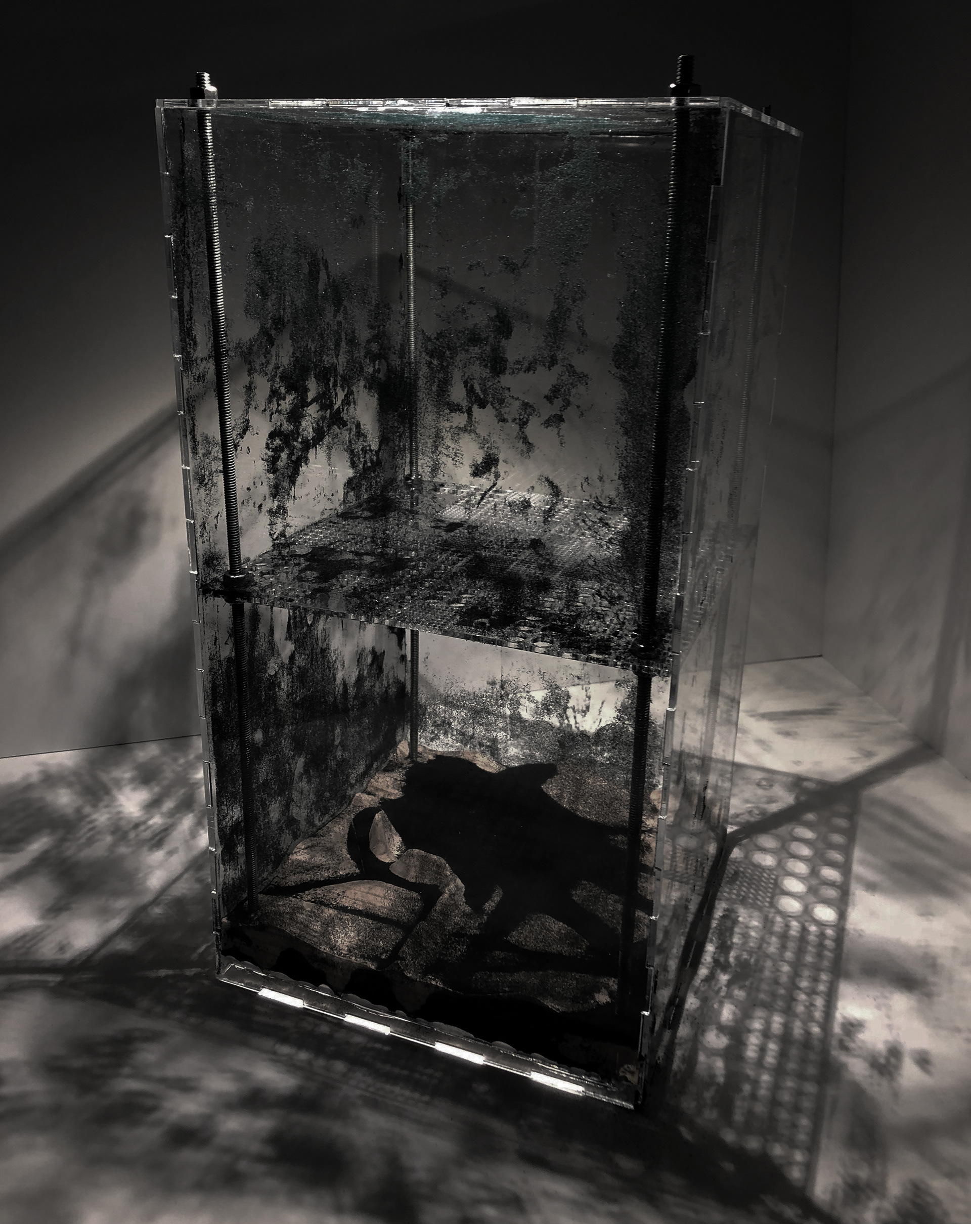


Fall 2018 Harvard Graduate School of Design Critic: Robert Pietrusko Collaborator: Dana Hills This project used the collective GIS data of GSD students mapping their ideal daily routine throughout the Boston area in order make a phsyical model map of the data set. This model contends with the relationship between David Harvey’s concepts of absolute, relative and relational space by tracing the duration of time spent by GSD students in the outdoor (exterior) spaces they mapped in their ideal day. Each end of the model serves as an accumulator of sand filtered by holes, which represent duration spent at each waypoint. One side reveals a new topography of relative space from the densest point, Harvard Square. The opposite end of the model depicts an absolute space, the Cambridge road system. The sand flow serves as a form of relational space animating the relationship between specific waypoints and the temporal factors each space embodies.


